
Lightweight
A 44 kB gzipped library bundle. Maps and other assets load separately, when used.
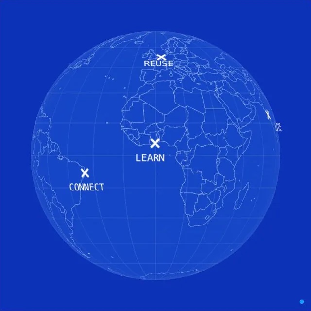
Markers, routes and data on an interactive globe.
3D markers and country colors
A lightweight JavaScript web component.
Visual configuration and a scripting API.
Configure map colors, textures, backgrounds, atmosphere and object styles.
The visual configurator includes 24 presets. Use them as a starting point and adjust any setting in the editor or through JavaScript.
Render locations, routes and country data in a web component. Configure it visually or work directly with the JavaScript API.
A 44 kB gzipped library bundle. Maps and other assets load separately, when used.
Plain JavaScript and WebGL. Use it in an HTML page, bring it into your framework, or extend a globe made in the configurator.
Host the library, maps, fonts and images yourself. The globe needs no tracking, remote map service or API key.
Keyboard navigation, labeled locations, an optional location list and reduced-motion support help you build beyond mouse-only interaction.
Combine 3D meshes, icons, text, HTML overlays, lines, polygons, point collections and map layers.
Animate properties, fly between locations, draw routes and respond to events. Update your data without recreating the globe.
Explore growing regions. Filter by coffee type, then choose a region on the list or globe.
Choose a coffee type to show regions.
Compare three journeys from Frankfurt to Tokyo. Choose a route below or click its line on the globe.
Color countries from a dataset. Change the year or select a country to explore the same data in another view.
Germany 86%
Illustrative coverage data.
Documentation, examples and tools for integrating and extending Miniature Earth.
$58USD
One-time purchase.
Permanent, unlimited use.
Plus applicable taxes.
For your own and client projects.
License terms
Use the WordPress plugin to design and embed a globe inside WordPress, then extend it with the same JavaScript API. WordPress integration